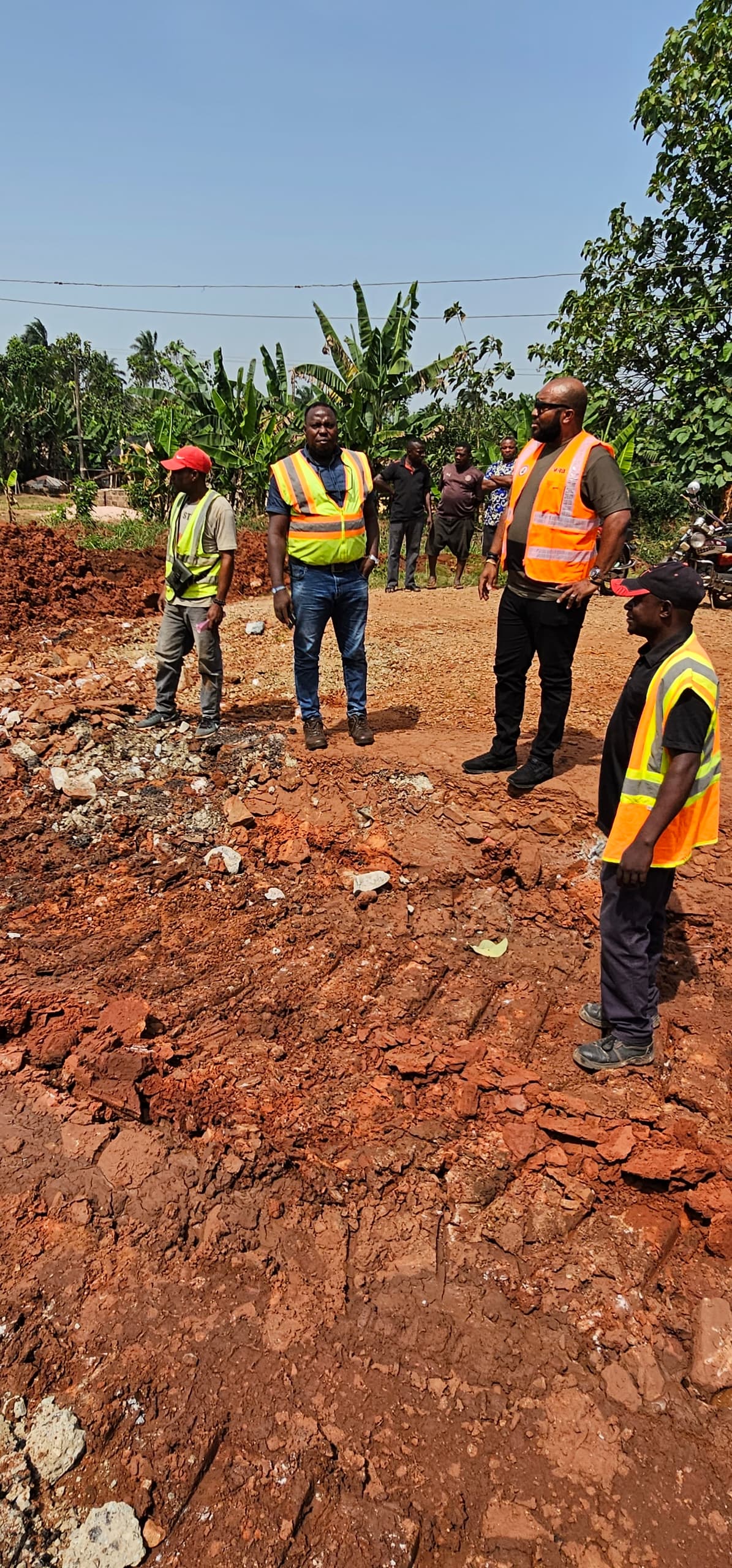
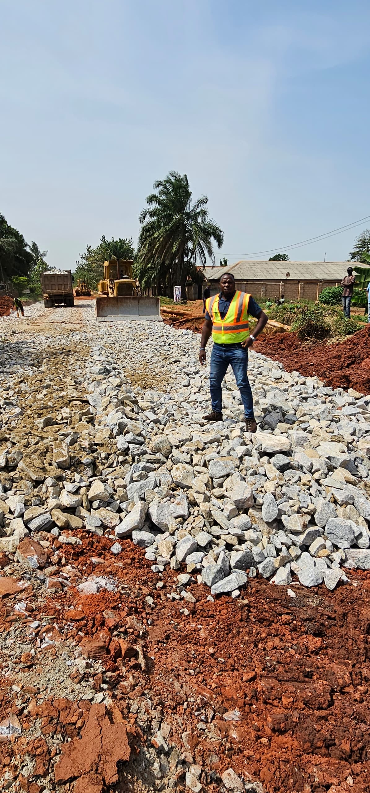
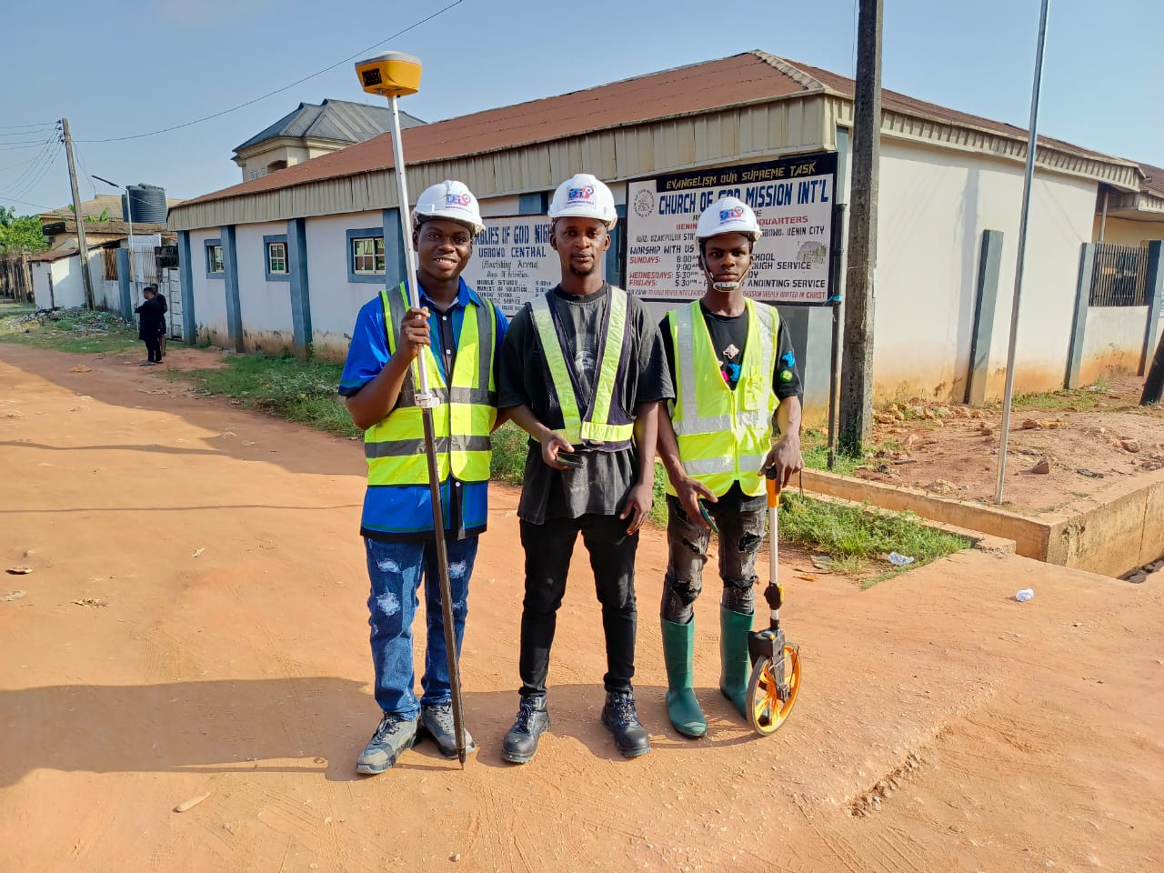
Geomatics Technique using Drone and Satellite Imagery integration to solve Real World Challenges like Gully with Flood and Erosion Menace at Otoghile Street, Okhoro Community, Benin City, Edo State.
ACTIVITIES: Design comprising survey works, soil test, preparation of drawings (hard and soft copies), etc.
STATUS: Completed
Add a comment