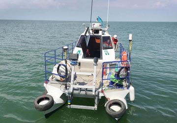
MARINE GEOPHYSICAL SURVEYS
The Marine Geophysical Surveys team of Diarsa Global has a wide range of modern survey technology and personnel ready to be mobilised to any region in Africa and beyond.
Learn more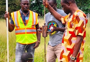
GEOTECHNICAL INVESTIGATION
The Company provides the following comprehensive range of services with our civil engineering partners.
Learn more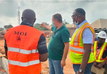
ECOLOGICAL, ENVIRONMENTAL AND SOCIAL IMPACT SERVICES
Consulting services in: Environmental and Social Impact Assessment, Strategic Environmental Assessment, Environmental Management Plans, Environmental Management Systems.
Learn more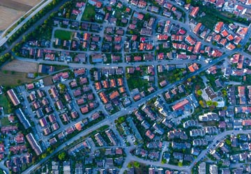

SALE OF SATELLITE IMAGERY
Diarsa Global Integrated Services Limited is an authorized reseller of AIRBUS imagery. Airbus is a leading global supplier of varied optical
Learn more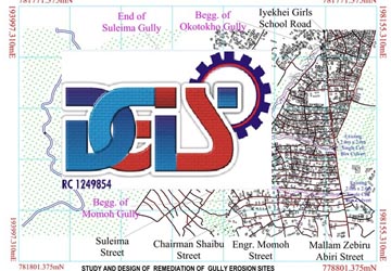
TOPOGRAPHIC SURVEYS
The specialized Geomatic engineering team at Diarsa Global is dedicated to providing topographical survey.
Learn more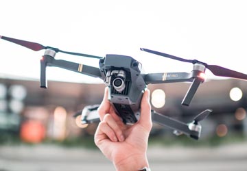
BOUNDARY DEMARCATION & SURVEYS
This is a basic function of the land surveyor however, it becomes complicated when legal documents often
Learn more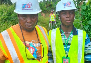
Crop/ Farm/ Land Compensation Surveys
Farming which is a traditional sector of the economies of most developing countries.
Learn more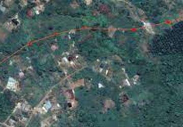
LINE ROUTE & UTILITY LOCATION SURVEYS
The scope of services of Diarsa Global online route ranges from a selection of Right Of Way (ROW).
Learn more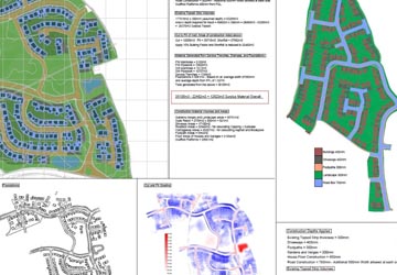
VOLUMETRIC ANALYSIS
Volumetric analysis is required during various forms of earth/ground works including: construction (road, building, bridges, trenches.
Learn more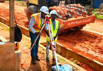
CONSTRUCTION LAYOUT & SETTING-OUT SURVEYS
The precision of construction engineering survey services is of utmost.
Learn more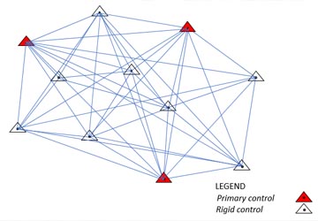
GROUND AND RIGID CONTROL NETWORKS
We use various modern survey equipment (GNSS/GPS) to establish ground and rigid.
Learn more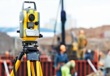
CADASTRAL & LEGAL SURVEYS
Diarsa Global Integrated Service Limited with our many years of experience in land surveying provides clients.
Learn more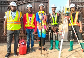
3D LASER SCANNING
Diarsa Global Integrated Services Limited is happy to be the leading firm in Nigeria with expertise in LIDAR technology.
Learn more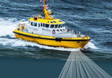
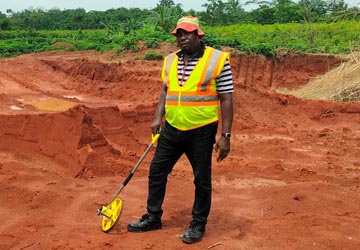
BATHYMETRIC SURVEYS
The bathymetric team at Diarsa Global Integrated Services Limited have vast experience in mapping underwater features.
Learn more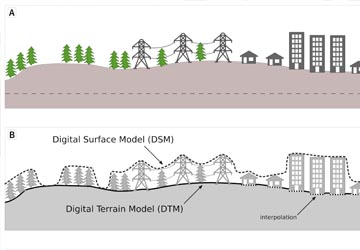
Provision of DEMs, DSMs, DTMs, & 3D MODELS
We have UAVs for Lidar survey and DRONE SURVEY.
Learn more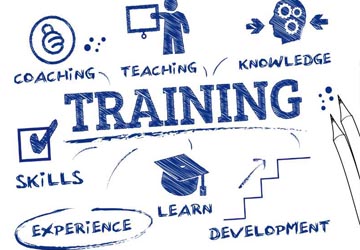
TRAINING
We offer training services in the following areas; GIS, GPS(RTK), Remote Sensing, and UAV ( drone) mapping.
Learn more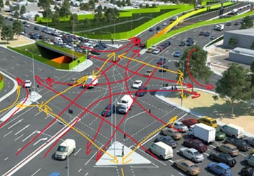
TRAFFIC STUDIES AND ROAD FURNITURE
Road markings, road traffic signs, traffic signals, crush barrier, pedestrian handrails, installation of reflective studs and others.
Learn more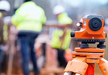
VALUATION AND ESTATE MANAGEMENT SERVICES
We provide consultancy services on a variety of real estate services.
Learn more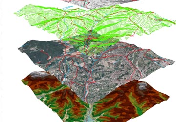
GEO-INFORMATION POLICY FORMULATION
Diarsa Global works with both private and public sectors to develop policy framework and accompanying value proposition to drive necessary changes in practice.
Learn more