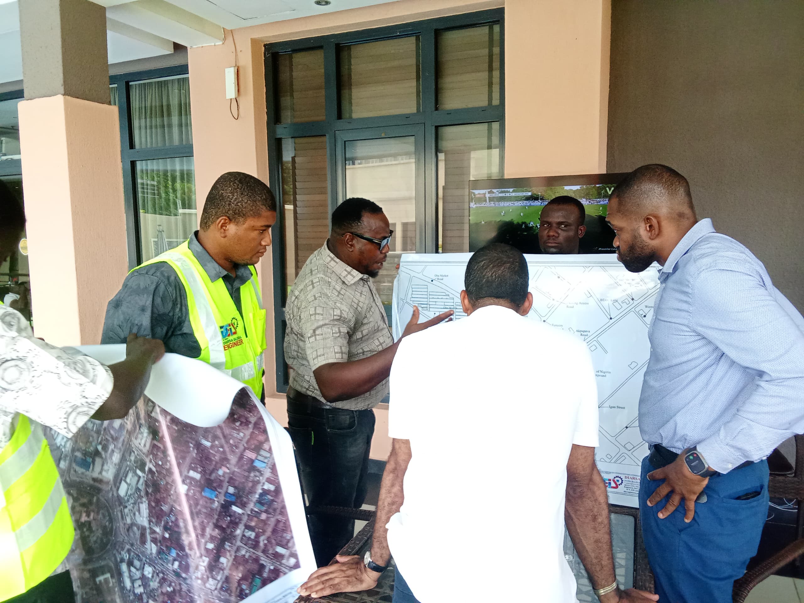
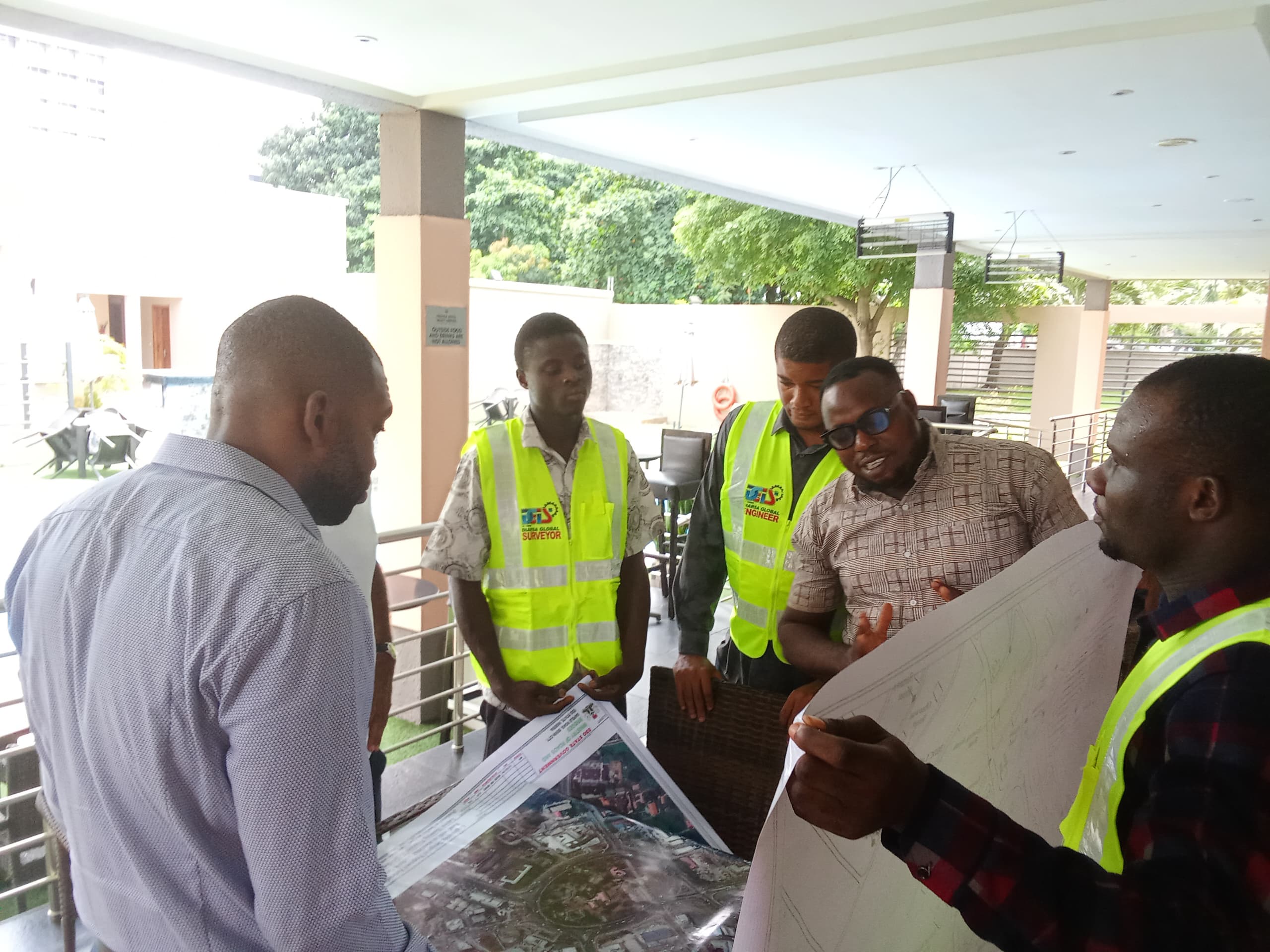
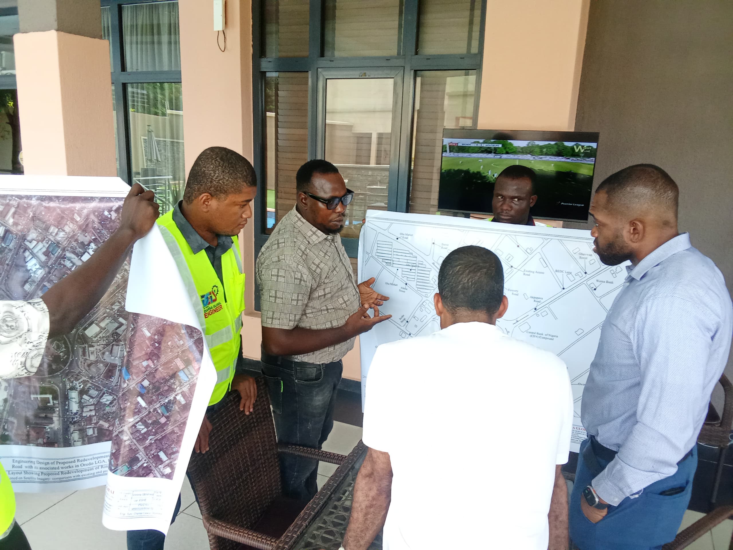
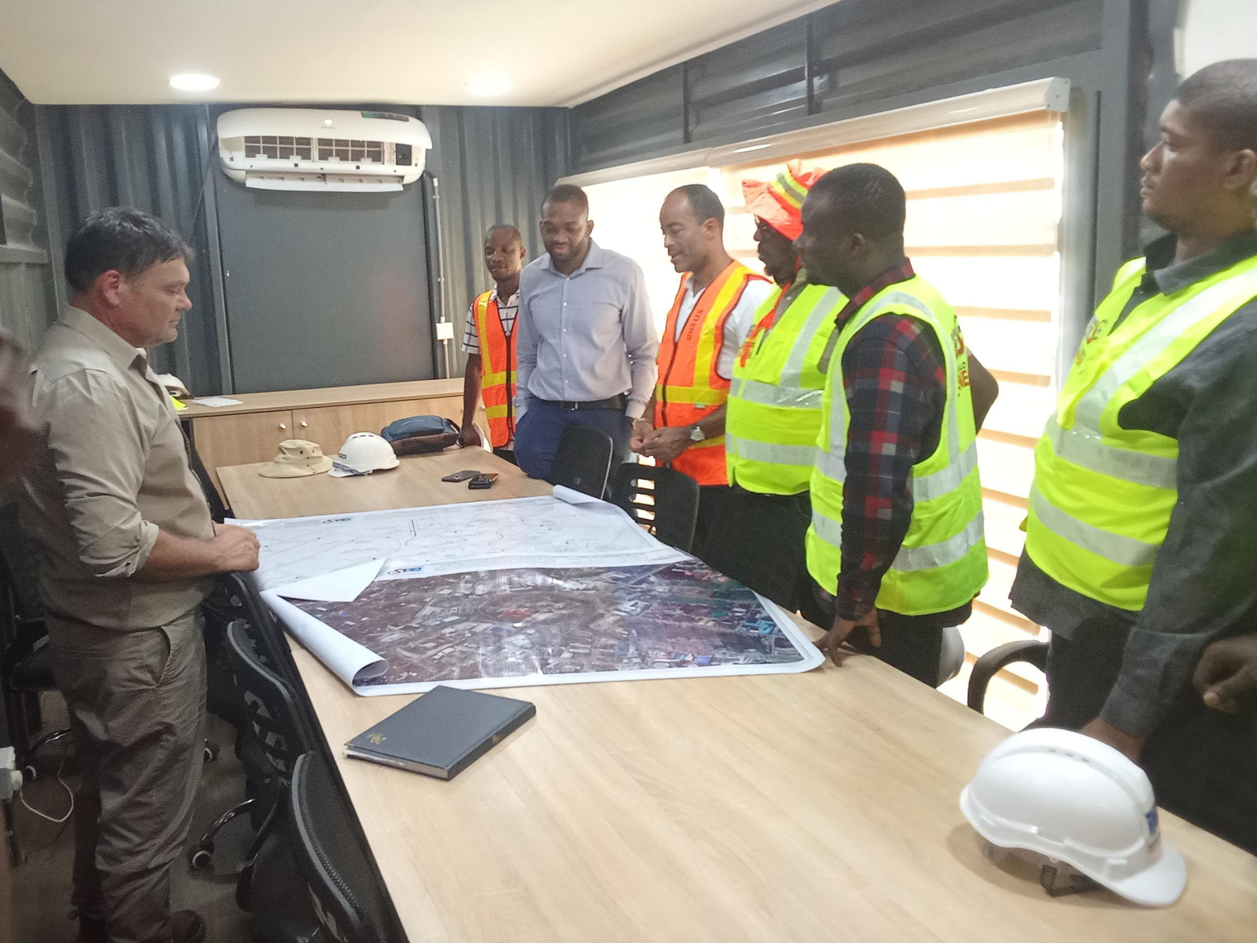
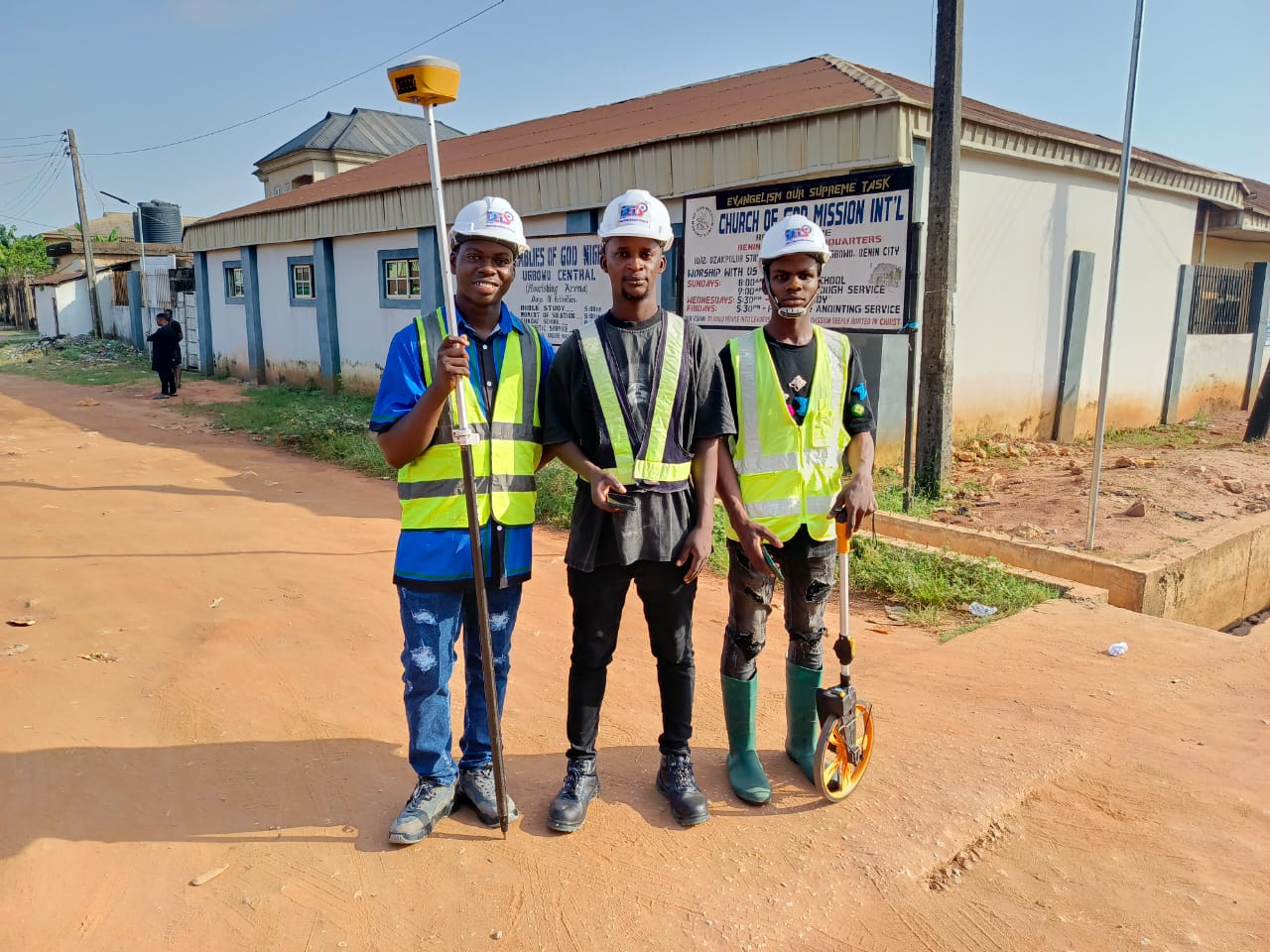
We understand your needs on survey and Geoinformatics
About Us
DIARSA GLOBAL INTEGRATED SERVICES LIMITED
Our corporate Head Office is located at 7 Akpakpava Road, Benin City, Edo State, Nigeria, West African. We execute our services within the proximity of our operating sites anywhere we are engaged within and outside the country.
We've Repution for Excellence
We Build Partnerships
Guided by Commitment
A Team of Professionals
Our Values
Our vision is to become an established and professional GIS Company that will use the Technology to provide distinctive, universally recognized services which will have global impact and acceptability and produce the needed results with speed and essential qualities. Hence, the new name – Dynamic Geographic Information System (DGIS) Company. Our mission is to apply the dynamism of Geographic Information System
Our mission is to apply the dynamism of Geographic Information System
We Are Specialists In
What We Do
Construction Layout & Setting-Out Surveys
The precision of construction engineering survey services is of utmost
Topographic Surveys
The specialized Geomatic engineering team at Diarsa Global is dedicated to providing topographical survey
Volumetric Analysis
Volumetric analysis is required during various forms of earth/ground works including: construction (road, building, bridges, trenches)
Boundary Demarcation & Surveys
This is a basic function of the land surveyor however, it becomes complicated when legal documents often
Geotechnical Investigation
The Company provides the following comprehensive range of services with our civil engineering partners
Training
We offer training services in the following areas; GIS, GPS(RTK), Remote Sensing, and UAV ( drone) mapping
