
Weldon Cash
CEO, First Choice GroupMarine Geophysical Surveys
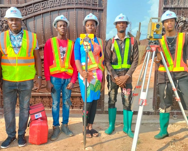
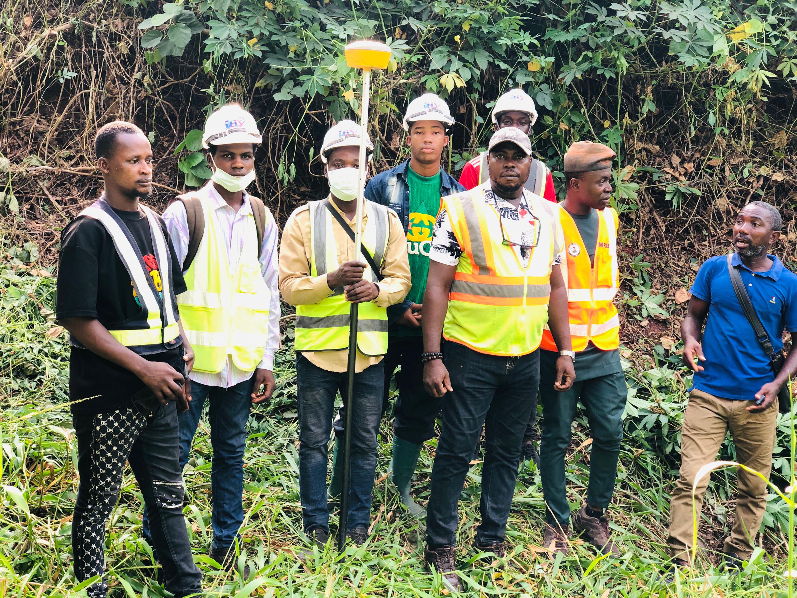
The Marine Geophysical Surveys team of A-M Surveys has a wide range of modern survey technology and personnel ready to be mobilised to any region in Africa and beyond. The vast experience of the team is in mapping underwater features, geological and morphological features of both waterbed and subsea. We make use of manned and unmanned boats with state-of-the-art powerful echo sounders, side scan sonars, magnetometers, Sub- bottom profiler and a wide range of sensors for imaging your projects scope. Our range of sensor work in different water depts ranging from 0 to 6,000m. These are onboard USVs, AUVs, and ROVs.
Our proven track record in Ghana and Africa as a whole was achieved by our dedicated highly skilled staff, huge investment in state-of-the-art survey equipment and technology. The advantages in using our services are custom solutions, leveraging our vast experience in optimizing project design and execution. Ultimately for cost-effectiveness and efficiency in survey operations to meet tight project timelines. Above all, absolute commitment to stringent Quality and EHS standards at all levels of our organization, fully supported by the Executive Management Team. This ensures results meet our in-house standards, international quality standards, and risk reduction to a practical minimum.
What Makes Us Different
Anim pariatur cliche reprehenderit, enim eiusmod high life accusamus terry richardson ad squid. 3 wolf moon officia aute, non cupidatat skateboard dolor brunch. Food truck quinoa nesciunt laborum eiusmod. Consectetur adipiscing elit. Integer adipiscing erat eget risus sollicitudin pellentesque et non erat tincidunt nunc posuere.
- Partnership Strategy tristique eleifend.
- Opporutnity to work with amet elit a.
- Saving Time to Deal with commodo iaculis.
- Leadership skills to manage erat volutpat.
- Cut cost without sacrificing dolore magna.
- Automate your business elis tristique.